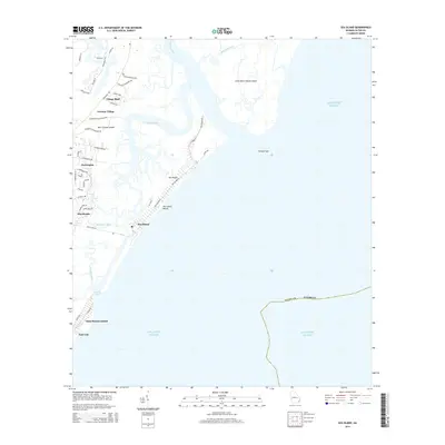
2014 Map of Sea Island
USGS Topo · Published 2014About this map
Saint Simons Island and Sea Island dominate this coastal survey, where the intricate network of tidal waterways defines the geography. The landscape is characterized by a mix of historic settlement names and modern developments, with German Village and Harrington serving as focal points for local heritage. The northern reach of the map reveals the transition from the Hampton River into the salt marshes and maritime forests of Little Saint Simons Island, while the southern end captures the prominent shoreline at East End and Goulds Inlet.
Find a feature on this map
49 named features on this map. Tap any name to fly to it.
Don’t see what you’re looking for? This feature index may not catch every label — zoom into the map to look around manually.
Map Details
Editions of this 2014 Sea Island Map
This is the sole edition of this map. No revisions or reprints were ever made.
Other maps of this area

1920 · Cabretta Island
USGS Topo · 1:62,500

1921 · Darien
USGS Topo · 1:62,500

1944 · Cabretta Island
USGS Topo · 1:62,500

1945 · Brunswick
USGS Topo · 1:62,500

1946 · Brunswick
USGS Topo · 1:250,000

1948 · Brunswick
USGS Topo · 1:250,000

1954 · Altamaha Sound
USGS Topo · 1:24,000
1955 · Sea Island
USGS Topo · 1:24,000
1956 · Brunswick East
USGS Topo · 1:24,000
1956 · Darien
USGS Topo · 1:24,000