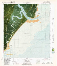
1979 Map of Sea Island
USGS Topo · Published 1980About this map
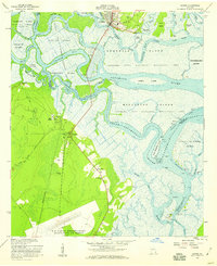
The complex marshlands and barrier island geography of the Georgia coast are revealed in this late 1970s orthophotomap. Saint Simons Island and Sea Island dominate the landscape, separated by the winding Blackbank River and expansive tidal flats. On the larger island, the small settlements of German Village and Harrington sit amidst dense vegetation, while the historic site of Bloody Marsh points to the area's colonial military history. The interplay of water and land is documented through bathymetric soundings and the clear delineation of shifting sands at Pelican Spit and Goulds Inlet.
Find a feature on this map
27 named features on this map. Tap any name to fly to it.
Don’t see what you’re looking for? This feature index may not catch every label — zoom into the map to look around manually.
Map Details
Editions of this 1979 Sea Island Map
2 editions found
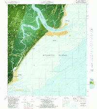
Other maps of this area

1920 · Cabretta Island
USGS Topo · 1:62,500

1921 · Darien
USGS Topo · 1:62,500

1944 · Cabretta Island
USGS Topo · 1:62,500

1945 · Brunswick
USGS Topo · 1:62,500

1946 · Brunswick
USGS Topo · 1:250,000

1948 · Brunswick
USGS Topo · 1:250,000

1954 · Altamaha Sound
USGS Topo · 1:24,000
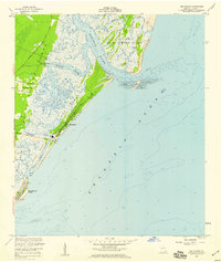
1955 · Sea Island
USGS Topo · 1:24,000
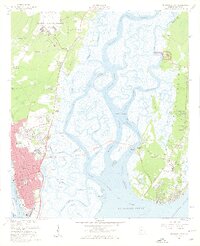
1956 · Brunswick East
USGS Topo · 1:24,000
1956 · Darien
USGS Topo · 1:24,000