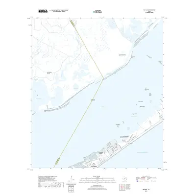
2019 Map of Sea Isle
USGS Topo · Published 2019About this map
Galveston Island serves as a focal point for this coastal survey, where the barrier island's southwest reaches meet the expansive waters of West Bay. The landscape is defined by the tension between the developed beachfront communities and the sprawling marshlands of the Gulf of Mexico coastline. Established settlements like Sea Isle, Terramar Beach, and Bay Harbor show a dense network of residential streets such as San Jacinto Dr and Isla Del Sol, positioned just behind the protective stretch of West Beach.
Find a feature on this map
63 named features on this map. Tap any name to fly to it.
Don’t see what you’re looking for? This feature index may not catch every label — zoom into the map to look around manually.
Map Details
Editions of this 2019 Sea Isle Map
This is the sole edition of this map. No revisions or reprints were ever made.
Other maps of this area

1929 · Karankawa Lake
USGS Topo · 1:24,000

1929 · Hitchcock
USGS Topo · 1:24,000

1929 · Virginia Point
USGS Topo · 1:24,000

1931 · Lake Como
USGS Topo · 1:24,000

1932 · Hitchcock
USGS Topo · 1:31,680

1932 · Mustang Bayou
USGS Topo · 1:31,680

1932 · Virginia Point
USGS Topo · 1:31,680

1933 · Karankawa Lake
USGS Topo · 1:31,680

1933 · San Luis Pass
USGS Topo · 1:31,680
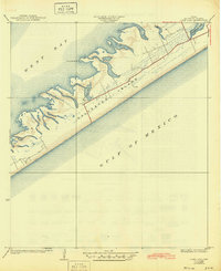
1933 · Lake Como
USGS Topo · 1:31,680