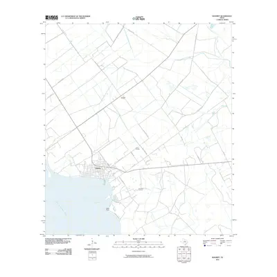
2010 Map of Seadrift
USGS Topo · Published 2010About this map
Seadrift serves as the primary coastal hub on this portion of the Texas shoreline, situated where the grid of the town meets the waters of San Antonio Bay. The landscape is a study in transition between maritime activity and inland resource extraction, defined by the extensive Long Mott Oil Field to the north and the jagged protrusion of Swan Point into the bay. Significant for local family researchers, the map identifies the Seadrift Cemetery and the more isolated Stiernberg Cemetery, reflecting the early settlement patterns of Calhoun County. A network of rural roads such as Old Seadrift Hwy and Old Settlement Rd connects these burial grounds and small homesteads to the harbor. The northern reaches of the quadrangle are drained by East Coloma Creek, transitioning from the open coastal prairie toward the more developed industrial and residential zones near the water.
Find a feature on this map
22 named features on this map. Tap any name to fly to it.
Don’t see what you’re looking for? This feature index may not catch every label — zoom into the map to look around manually.
Map Details
Editions of this 2010 Seadrift Map
This is the sole edition of this map. No revisions or reprints were ever made.
Other maps of this area

1952 · Port Lavaca East
USGS Topo · 1:24,000

1952 · Mosquito Point
USGS Topo · 1:24,000

1952 · Long Island
USGS Topo · 1:24,000

1952 · Tivoli SE
USGS Topo · 1:24,000

1952 · Seadrift NE
USGS Topo · 1:24,000

1952 · Austwell
USGS Topo · 1:24,000

1952 · Seadrift
USGS Topo · 1:24,000

1952 · Port Lavaca West
USGS Topo · 1:24,000

1952 · Green Lake
USGS Topo · 1:24,000

1953 · Beeville
USGS Topo · 1:250,000