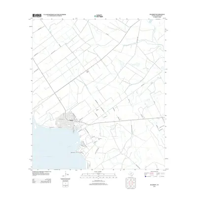
2013 Map of Seadrift
USGS Topo · Published 2013About this map
Seadrift sits prominently at the edge of San Antonio Bay, where the gridded streets of the settlement meet the coastal waters of the Texas Gulf. This 2013 survey reveals a landscape where coastal living and heavy industry coexist, evidenced by the proximity of the town center to the inland Long Mott Oil Field. The shoreline around Swan Point is marked by a network of residential roads like Bierman Rd and Swan Point Marina Rd, suggesting the importance of maritime access to the local community.
Find a feature on this map
53 named features on this map. Tap any name to fly to it.
Don’t see what you’re looking for? This feature index may not catch every label — zoom into the map to look around manually.
Map Details
Editions of this 2013 Seadrift Map
This is the sole edition of this map. No revisions or reprints were ever made.
Other maps of this area

1952 · Port Lavaca East
USGS Topo · 1:24,000

1952 · Mosquito Point
USGS Topo · 1:24,000

1952 · Long Island
USGS Topo · 1:24,000

1952 · Tivoli SE
USGS Topo · 1:24,000

1952 · Seadrift NE
USGS Topo · 1:24,000

1952 · Austwell
USGS Topo · 1:24,000

1952 · Seadrift
USGS Topo · 1:24,000

1952 · Port Lavaca West
USGS Topo · 1:24,000

1952 · Green Lake
USGS Topo · 1:24,000

1953 · Beeville
USGS Topo · 1:250,000