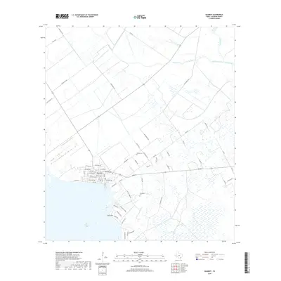
2019 Map of Seadrift
USGS Topo · Published 2019About this map
The coastal settlement of Seadrift sits at the edge of San Antonio Bay, where a grid of residential streets like W Bay Ave and Adams St meets the marshy Texas shoreline. This 2019 survey captures the community’s layout near the water, extending south toward the point of land known as Swan Point and its associated Swan Point Marina. The surrounding landscape is defined by extensive wetlands and drainage systems, including the meandering paths of West Coloma Creek and E Coloma Cr to the north.
Find a feature on this map
57 named features on this map. Tap any name to fly to it.
Don’t see what you’re looking for? This feature index may not catch every label — zoom into the map to look around manually.
Map Details
Editions of this 2019 Seadrift Map
This is the sole edition of this map. No revisions or reprints were ever made.
Other maps of this area

1952 · Port Lavaca East
USGS Topo · 1:24,000

1952 · Mosquito Point
USGS Topo · 1:24,000

1952 · Long Island
USGS Topo · 1:24,000

1952 · Tivoli SE
USGS Topo · 1:24,000

1952 · Seadrift NE
USGS Topo · 1:24,000

1952 · Austwell
USGS Topo · 1:24,000

1952 · Seadrift
USGS Topo · 1:24,000

1952 · Port Lavaca West
USGS Topo · 1:24,000

1952 · Green Lake
USGS Topo · 1:24,000

1953 · Beeville
USGS Topo · 1:250,000