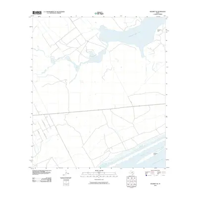
2010 Map of Seadrift NE
USGS Topo · Published 2010About this map
Powderhorn Lake and the surrounding coastal wetlands dominate this 2010 depiction of the Texas Gulf Coast. The landscape is characterized by a network of tidal inlets and bays, including Shoalwater Bay and the larger Espiritu Santo Bay, which are separated from the open water by coastal features such as Dewberry Island. The inclusion of the Powderhorn Lake Oil Field in the northeast corner highlights the intersection of the region's natural geography with its industrial energy history.
Find a feature on this map
12 named features on this map. Tap any name to fly to it.
Don’t see what you’re looking for? This feature index may not catch every label — zoom into the map to look around manually.
Map Details
Editions of this 2010 Seadrift NE Map
This is the sole edition of this map. No revisions or reprints were ever made.
Other maps of this area

1951 · Keller Bay
USGS Topo · 1:24,000

1952 · Port Lavaca East
USGS Topo · 1:24,000

1952 · Mosquito Point
USGS Topo · 1:24,000

1952 · Pass Cavallo SW
USGS Topo · 1:24,000

1952 · Long Island
USGS Topo · 1:24,000

1952 · Seadrift NE
USGS Topo · 1:24,000

1952 · Seadrift
USGS Topo · 1:24,000

1952 · Port Lavaca West
USGS Topo · 1:24,000

1952 · Port O'Connor
USGS Topo · 1:24,000

1953 · Beeville
USGS Topo · 1:250,000