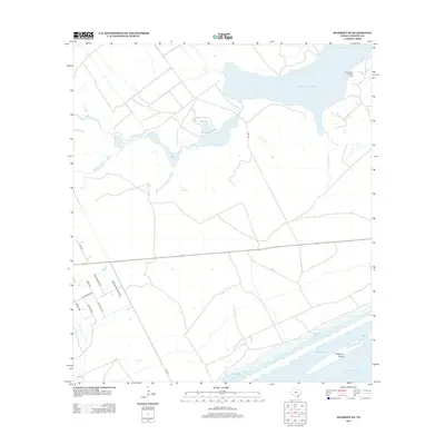
2013 Map of Seadrift NE
USGS Topo · Published 2013About this map
Powderhorn Lake dominates the upper reaches of this coastal landscape, where the Powderhorn Lake Oil Field indicates the ongoing industrial importance of the Texas Gulf Coast. The transition from terrestrial drainage to maritime expanse is traced by Coloma Cr, which flows toward the inlet. Along the southern edge of the sheet, the barrier-island environment is clearly defined by Dewberry Island, separating the inner reaches of Shoalwater Bay from the open waters of Espiritu Santo Bay. The local road network, including family-named routes like Wittnebert Rd and Morales Rd Ureste Rd, provides a look at the rural property divisions and settlement patterns characteristic of Calhoun County in the early twenty-first century.
Find a feature on this map
16 named features on this map. Tap any name to fly to it.
Don’t see what you’re looking for? This feature index may not catch every label — zoom into the map to look around manually.
Map Details
Editions of this 2013 Seadrift NE Map
This is the sole edition of this map. No revisions or reprints were ever made.
Other maps of this area

1951 · Keller Bay
USGS Topo · 1:24,000

1952 · Port Lavaca East
USGS Topo · 1:24,000

1952 · Mosquito Point
USGS Topo · 1:24,000

1952 · Pass Cavallo SW
USGS Topo · 1:24,000

1952 · Long Island
USGS Topo · 1:24,000

1952 · Seadrift NE
USGS Topo · 1:24,000

1952 · Seadrift
USGS Topo · 1:24,000

1952 · Port Lavaca West
USGS Topo · 1:24,000

1952 · Port O'Connor
USGS Topo · 1:24,000

1953 · Beeville
USGS Topo · 1:250,000