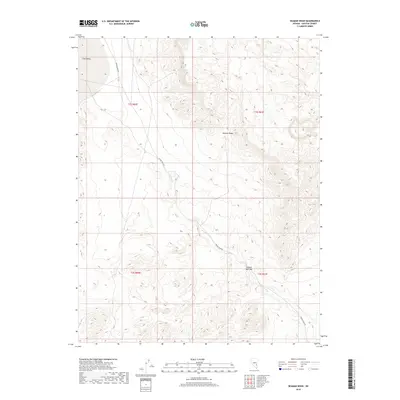
2018 Map of Seaman Wash
USGS Topo · Published 2018About this map
Seaman Range dominates this portion of Lincoln County, defining a landscape where high desert elevations meet intricate drainage systems. The map illustrates a critical passage for water and travel through the Seaman Narrows, a distinct topographical pinch point where the terrain funnels into the wider expanse of Coal Valley. Hydrographic features like Seaman Spring and Ash Springs represent vital water sources in this arid environment, often serving as the primary anchors for travel and survival in the high desert. The presence of Seaman Wash Rd following the natural course of Seaman Wash highlights how modern transit corridors continue to adhere to the ancient logic of the basin and range province, utilizing the same gaps and washes that have guided movement through this territory for generations.
Find a feature on this map
12 named features on this map. Tap any name to fly to it.
Don’t see what you’re looking for? This feature index may not catch every label — zoom into the map to look around manually.
Map Details
Editions of this 2018 Seaman Wash Map
This is the sole edition of this map. No revisions or reprints were ever made.
Other maps of this area

1954 · Caliente
USGS Topo · 1:250,000

1959 · Caliente
USGS Topo · 1:250,000

1970 · Hiko NE
USGS Topo · 1:24,000

1970 · Oreana Spring
USGS Topo · 1:24,000

1970 · Seaman Wash
USGS Topo · 1:24,000

1970 · Fossil Peak
USGS Topo · 1:24,000
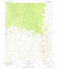
1970 · Weepah Spring
USGS Topo · 1:24,000
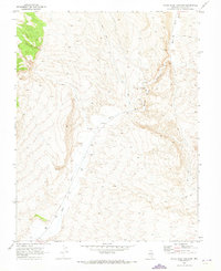
1970 · White River Narrows
USGS Topo · 1:24,000

1985 · Mail Summit
USGS Topo · 1:24,000

1985 · Coal Valley Reservoir
USGS Topo · 1:24,000