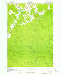
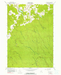
1943 Map of Sears Pond
USGS Topo · Published 1984About this map
Deer River and its numerous tributaries, including Luther Creek and McNeil Creek, define the landscape of this rural upstate New York region during the early 1940s. The area is characterized by a high density of small rural schools, such as School Nos 3 & 8 and School No 9, reflecting the distributed nature of the upland dairy and logging communities in the towns of Montague and Martinsburg. Tiny settlements like Hooker and Parkers served as local hubs, while Sears Pond and the extensive marshy headwaters of the Mad River system illustrate the poorly drained plateau geography. The mapping of Mill Stream and Grindstone Bk suggests a legacy of water-powered industry in these remote woods.
Find a feature on this map
27 named features on this map. Tap any name to fly to it.
Don’t see what you’re looking for? This feature index may not catch every label — zoom into the map to look around manually.
Map Details
Editions of this 1943 Sears Pond Map
5 editions found
Other maps of this area

1895 · Watertown
USGS Topo · 1:62,500

1898 · Watertown
USGS Topo · 1:62,500

1902 · Carthage
USGS Topo · 1:62,500

1903 · Orwell
USGS Topo · 1:62,500

1904 · Carthage
USGS Topo · 1:62,500

1905 · Orwell
USGS Topo · 1:62,500

1906 · Highmarket
USGS Topo · 1:62,500

1908 · Watertown
USGS Topo · 1:62,500

1909 · Watertown
USGS Topo · 1:62,500

1942 · Redfield
USGS Topo · 1:24,000