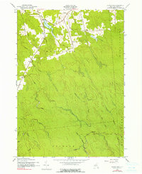
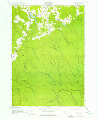
1943 Map of Sears Pond
USGS Topo · Published 1991About this map
Sears Pond sits at the northern end of this mid-century survey, a central landmark in a landscape defined by the convergence of several major townships. The boundary lines of Montague, Martinsburg, Osceola, and Highmarket meet here, carving through a terrain crisscrossed by the headwaters of the Deer River and the Mad River. The map captures a moment when rural life centered around small numbered schoolhouses, such as School No 7 and School No 9, which served the scattered hamlets of Parkers, Monteola, and Edick.
Find a feature on this map
26 named features on this map. Tap any name to fly to it.
Don’t see what you’re looking for? This feature index may not catch every label — zoom into the map to look around manually.
Map Details
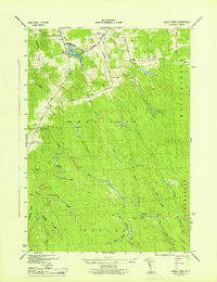
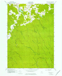
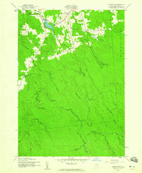
Editions of this 1943 Sears Pond Map
5 editions found
Other maps of this area

1895 · Watertown
USGS Topo · 1:62,500

1898 · Watertown
USGS Topo · 1:62,500

1902 · Carthage
USGS Topo · 1:62,500

1903 · Orwell
USGS Topo · 1:62,500

1904 · Carthage
USGS Topo · 1:62,500

1905 · Orwell
USGS Topo · 1:62,500

1906 · Highmarket
USGS Topo · 1:62,500

1908 · Watertown
USGS Topo · 1:62,500

1909 · Watertown
USGS Topo · 1:62,500

1942 · Redfield
USGS Topo · 1:24,000