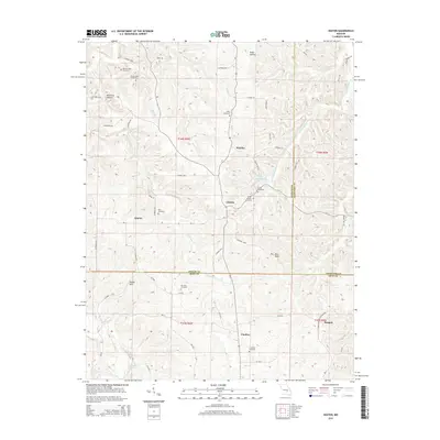
2015 Map of Seaton
USGS Topo · Published 2015About this map
The borderlands of Phelps, Crawford, and Dent Counties in Missouri are defined by a network of rural settlements and family-named cemeteries that speak to the region's deep-rooted genealogy. Seaton, Clinton, and Condray serve as local hubs for a landscape dissected by numerous watercourses, including Norman Cr and W Fork Benton Cr. The presence of the St Louis San Francisco Railway in the southeastern corner near Bangert indicates the vital rail connection that historically served these Ozark communities.
Find a feature on this map
68 named features on this map. Tap any name to fly to it.
Don’t see what you’re looking for? This feature index may not catch every label — zoom into the map to look around manually.
Map Details
Editions of this 2015 Seaton Map
This is the sole edition of this map. No revisions or reprints were ever made.
Other maps of this area

1928 · Meramec Spring
USGS Topo · 1:62,500

1932 · Steelville
USGS Topo · 1:48,000

1933 · Steelville
USGS Topo · 1:62,500

1937 · Steelville
USGS Topo · 1:62,500

1941 · Salem
USGS Topo · 1:62,500

1941 · Stone Hill
USGS Topo · 1:62,500

1945 · Salem
USGS Topo · 1:62,500

1945 · Stone Hill
USGS Topo · 1:62,500

1949 · Rolla
USGS Topo · 1:250,000

1949 · Meramec Spring
USGS Topo · 1:62,500