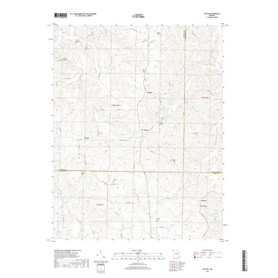
2017 Map of Seaton
USGS Topo · Published 2017About this map
Clinton and Winkler anchor this corner of the Ozark Highlands where Phelps, Crawford, and Dent counties meet. The landscape is defined by the dendritic drainage patterns of Norman Cr and Dry Fork, which carve numerous hollows including Normans Hollow and Asher Hollow. This modern survey reveals a persistent rural settlement pattern where family history is etched into the terrain through a high concentration of cemeteries.
Find a feature on this map
72 named features on this map. Tap any name to fly to it.
Don’t see what you’re looking for? This feature index may not catch every label — zoom into the map to look around manually.
Map Details
Editions of this 2017 Seaton Map
This is the sole edition of this map. No revisions or reprints were ever made.
Other maps of this area

1928 · Meramec Spring
USGS Topo · 1:62,500

1932 · Steelville
USGS Topo · 1:48,000

1933 · Steelville
USGS Topo · 1:62,500

1937 · Steelville
USGS Topo · 1:62,500

1941 · Salem
USGS Topo · 1:62,500

1941 · Stone Hill
USGS Topo · 1:62,500

1945 · Salem
USGS Topo · 1:62,500

1945 · Stone Hill
USGS Topo · 1:62,500

1949 · Rolla
USGS Topo · 1:250,000

1949 · Meramec Spring
USGS Topo · 1:62,500