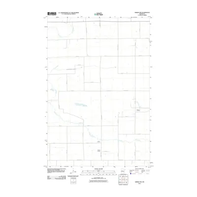
2010 Map of Sebeka NW
USGS Topo · Published 2010About this map
The Redeye River and Kettle River dominate this rural landscape in Otter Tail County, where a rigid grid of section-line roads defines the local geography. This 2010 survey highlights several community landmarks that anchor the area's social history, including Red Eye Cemetery near the confluence of Kitten Creek and the Redeye River, and the Bethania Lutheran Cemetery located further south along County Hwy-75. The region’s drainage is precisely managed through features like County Ditch Number Twentyseven, which cuts across the terrain north of Mud Lake. Spanning the border with Wadena County, as evidenced by Wadena Line Rd, the map illustrates the enduring agrarian structure of the North Star State, where small burial grounds like Grace Cemetery remain the primary indicators of historical neighborhood clusters.
Find a feature on this map
41 named features on this map. Tap any name to fly to it.
Don’t see what you’re looking for? This feature index may not catch every label — zoom into the map to look around manually.
Map Details
Editions of this 2010 Sebeka NW Map
This is the sole edition of this map. No revisions or reprints were ever made.
Other maps of this area

1953 · Brainerd
USGS Topo · 1:250,000

1957 · Brainerd
USGS Topo · 1:250,000

1958 · Brainerd
USGS Topo · 1:250,000

1965 · Brainerd
USGS Topo · 1:250,000

1969 · Wolf Lake
USGS Topo · 1:24,000

1969 · Sebeka SW
USGS Topo · 1:24,000

1969 · Menahga
USGS Topo · 1:24,000

1969 · Park Rapids SW
USGS Topo · 1:24,000

1969 · Sebeka
USGS Topo · 1:24,000

1969 · Sebeka NW
USGS Topo · 1:24,000