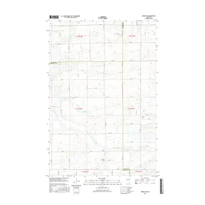
2016 Map of Sebeka NW
USGS Topo · Published 2016About this map
Redeye River and the Kettle River define this corner of the Minnesota lake country, where Wadena, Becker, and Otter Tail counties meet. The landscape is characterized by its complex drainage network, including Kitten Cr and the engineered County Ditch Number Twentyseven, which weave through a patchwork of rural farmsteads and section lines. For genealogists, the map identifies several local burial sites, such as the Bethania Lutheran Cem, Red Eye Cem, and Grace Cem, which serve as permanent markers of the area's early Scandinavian and German heritage. The presence of Mud Lake and numerous wetland pockets illustrates the transition from riverine systems to the kettle lakes region. This survey captures the quiet, agrarian character of the territory north of Sebeka during the early 21st century, well after the initial timber harvest era had transformed into a stable dairy and farming economy.
Find a feature on this map
58 named features on this map. Tap any name to fly to it.
Don’t see what you’re looking for? This feature index may not catch every label — zoom into the map to look around manually.
Map Details
Editions of this 2016 Sebeka NW Map
This is the sole edition of this map. No revisions or reprints were ever made.
Other maps of this area

1953 · Brainerd
USGS Topo · 1:250,000

1957 · Brainerd
USGS Topo · 1:250,000

1958 · Brainerd
USGS Topo · 1:250,000

1965 · Brainerd
USGS Topo · 1:250,000

1969 · Wolf Lake
USGS Topo · 1:24,000

1969 · Sebeka SW
USGS Topo · 1:24,000

1969 · Menahga
USGS Topo · 1:24,000

1969 · Park Rapids SW
USGS Topo · 1:24,000

1969 · Sebeka
USGS Topo · 1:24,000

1969 · Sebeka NW
USGS Topo · 1:24,000