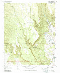
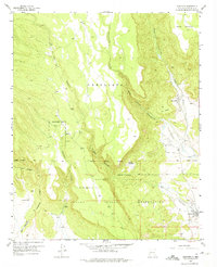
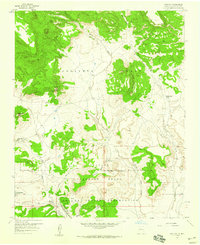
1957 Map of Seboyeta
USGS Topo · Published 1986About this map
Seboyeta and the nearby village of Bibo occupy a dramatic canyon landscape where the high plateaus of Mesa Chivato meet the drainage of Seboyetita Creek. This 1957 field survey captures the intersection of ancient land grants and reservation boundaries, prominently featuring the Laguna Indian Reservation and the extensive Paguate Purchase. The settlement pattern follows the water, with the town of Paguate and the smaller Rancho Chupadero situated along the seasonal flows of Rio Paguate and Encinal Creek. The map provides a detailed record of local topography and land use in this part of New Mexico before later 20th-century developments, including the location of a local Cemetery and the distinctive landforms of Seboyeta Canyon and Bear Canyon.
Find a feature on this map
22 named features on this map. Tap any name to fly to it.
Don’t see what you’re looking for? This feature index may not catch every label — zoom into the map to look around manually.
Map Details
Editions of this 1957 Seboyeta Map
3 editions found
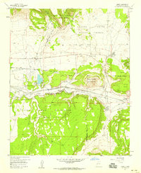
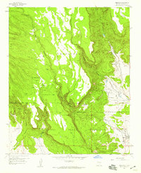
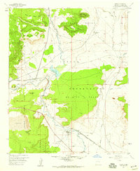
Other maps of this area

1883 · Mt. Taylor
USGS Topo · 1:250,000

1886 · Mt. Taylor
USGS Topo · 1:250,000

1892 · Mt. Taylor
USGS Topo · 1:250,000

1899 · Mt. Taylor
USGS Topo · 1:250,000
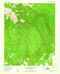
1957 · Mount Taylor
USGS Topo · 1:24,000
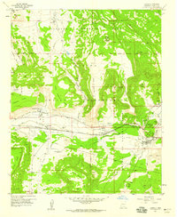
1957 · Laguna
USGS Topo · 1:24,000
1957 · Moquino
USGS Topo · 1:24,000
1957 · Cubero
USGS Topo · 1:24,000
1957 · Seboyeta
USGS Topo · 1:24,000
1957 · Mesita
USGS Topo · 1:24,000