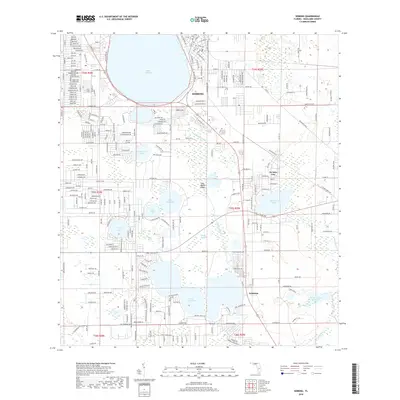
2018 Map of Sebring
USGS Topo · Published 2018About this map
Sebring and its surroundings are defined by the distinctive geography of the Lake Wales Ridge, an ancient sand dune system that creates a high-elevation spine through central Florida. This environment is characterized by an exceptional concentration of freshwater bodies, including the large expanse of Lake Jackson in the north and Lake Josephine to the south. The settlement pattern follows this ridge, with De Soto City and Kuhlman situated amidst a dense network of water features like Red Beach Lake and Huckleberry Lake. The map reveals a highly structured residential grid in the northwest, where streets are named for various bird species, such as Ibis Ave and Sparrow Ave. Hydrological management is evident through the presence of the Frank Taucher Reservoir and the winding course of Josephine Creek, which drains the southern wetlands.
Find a feature on this map
277 named features on this map. Tap any name to fly to it.
Don’t see what you’re looking for? This feature index may not catch every label — zoom into the map to look around manually.
Map Details
Editions of this 2018 Sebring Map
This is the sole edition of this map. No revisions or reprints were ever made.
Other maps of this area

1952 · Lake Placid
USGS Topo · 1:24,000

1952 · Lake Arbuckle SW
USGS Topo · 1:24,000

1952 · Lake Arbuckle SE
USGS Topo · 1:24,000

1952 · Lorida
USGS Topo · 1:24,000

1952 · Sebring
USGS Topo · 1:24,000

1953 · Avon Park
USGS Topo · 1:24,000

1953 · Lake June In Winter
USGS Topo · 1:24,000

1953 · Crewsville SE
USGS Topo · 1:24,000

1953 · Crewsville
USGS Topo · 1:24,000

1956 · Fort Pierce
USGS Topo · 1:250,000