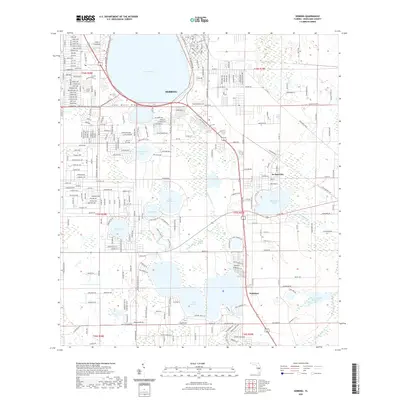
2021 Map of Sebring
USGS Topo · Published 2021About this map
Sebring and its surroundings on the Lake Wales Ridge reflect a landscape defined by its distinctive lake-pocked topography and citrus-country heritage. This 2021 survey shows a mature road network in the town of Sebring, where residential street names reflect a bird-themed nomenclature such as Ibis Ave and Quail Ave. Beyond the city center, the terrain transitions into a complex of water bodies including Lake Jackson, Lake Ruth, and Lake Charlotte. To the east, De Soto City remains a identifiable node between the larger Red Beach Lake and Lake Jackson. The map details the transition from urban density to the wetlands and hydrologic features of the south, where Josephine Cr feeds into Lake Josephine. This modern topographic study captures the contemporary boundaries of Highlands Hammock State Park Trl and the engineered water management of the Frank Taucher Reservoir.
Find a feature on this map
180 named features on this map. Tap any name to fly to it.
Don’t see what you’re looking for? This feature index may not catch every label — zoom into the map to look around manually.
Map Details
Editions of this 2021 Sebring Map
This is the sole edition of this map. No revisions or reprints were ever made.
Other maps of this area

1952 · Lake Placid
USGS Topo · 1:24,000

1952 · Lake Arbuckle SW
USGS Topo · 1:24,000

1952 · Lake Arbuckle SE
USGS Topo · 1:24,000

1952 · Lorida
USGS Topo · 1:24,000

1952 · Sebring
USGS Topo · 1:24,000

1953 · Avon Park
USGS Topo · 1:24,000

1953 · Lake June In Winter
USGS Topo · 1:24,000

1953 · Crewsville SE
USGS Topo · 1:24,000

1953 · Crewsville
USGS Topo · 1:24,000

1956 · Fort Pierce
USGS Topo · 1:250,000