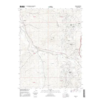
2016 Map of Sedalia
USGS Topo · Published 2016About this map
Sedalia sits at the junction of Plum Creek and West Plum Creek, serving as a focal point for this 2016 survey of Douglas County. The landscape is defined by the transition from the riparian corridors along the BNSF Railway to the elevated terrain of Cherokee Mountain and Racoon Knob. The map documents a significant period of suburban development, capturing the intricate residential networks of Castle Pines, Castle Pines North, and Castle Pines Village as they wrap around the western edge of the plateau.
Find a feature on this map
175 named features on this map. Tap any name to fly to it.
Don’t see what you’re looking for? This feature index may not catch every label — zoom into the map to look around manually.
Map Details
Editions of this 2016 Sedalia Map
This is the sole edition of this map. No revisions or reprints were ever made.
Other maps of this area

1890 · East Denver
USGS Topo · 1:125,000

1893 · Platte Canyon
USGS Topo · 1:125,000

1894 · Castle Rock
USGS Topo · 1:125,000

1899 · West Denver
USGS Topo · 1:125,000

1913 · Castle Rock
USGS Topo · 1:125,000

1935 · East Denver Nos. 3 and 4
USGS Topo · 1:48,000

1940 · Castle Rock
USGS Topo · 1:62,500

1942 · Highland Ranch
USGS Topo · 1:31,680

1942 · Parker
USGS Topo · 1:31,680

1942 · Littleton
USGS Topo · 1:31,680