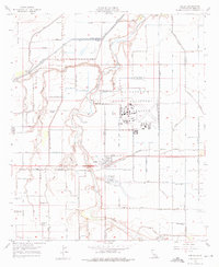
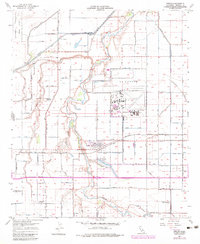
1957 Map of Seeley
USGS Topo · Published 1976About this map
The irrigated landscape of the Imperial Valley defines this 1957 survey, where a massive network of canals and drains like Elder Drain and Rice Drain support intensive agriculture. Central to the region is the community of Seeley, situated along the San Diego and Arizona Eastern railroad and the New River. The map captures a period of significant military presence, prominently featuring the Naval Auxiliary Air Station and an extensive Naval Reservation to the northwest. Rural life is evidenced by local education landmarks such as Lantana School and Westside School, while the southern reaches show the Silsbee School (Aband). Water management and recreation intersect at the Sunbeam Recreation Area surrounding Sunbeam Lake, highlighting the transformation of the desert through controlled water resources like Bullhead Slough.
Find a feature on this map
86 named features on this map. Tap any name to fly to it.
Don’t see what you’re looking for? This feature index may not catch every label — zoom into the map to look around manually.
Map Details
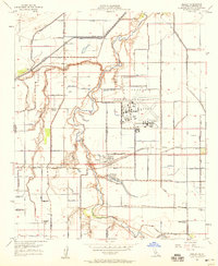
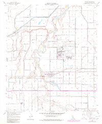
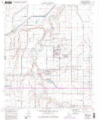
Editions of this 1957 Seeley Map
5 editions found
Other maps of this area

1915 · El Centro
USGS Topo · 1:125,000

1940 · Brawley
USGS Topo · 1:62,500

1940 · Heber
USGS Topo · 1:62,500

1940 · Plaster City
USGS Topo · 1:62,500

1940 · Coyote Wells
USGS Topo · 1:62,500

1942 · El Centro
USGS Topo · 1:250,000

1943 · Coyote Wells
USGS Topo · 1:62,500

1943 · Heber
USGS Topo · 1:62,500

1943 · Brawley
USGS Topo · 1:62,500

1944 · Plaster City
USGS Topo · 1:62,500