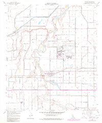
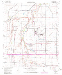
1957 Map of Seeley
USGS Topo · Published 1980About this map
Agricultural irrigation networks and military infrastructure define this mid-century portrait of Imperial County, published after initial surveys in 1957. The massive El Centro Naval Air Facility dominates the central landscape, featuring an extensive layout of runways and technical buildings including several Tanks and a Radio Beam Sta. To the west, the community of Seeley sits near the banks of the New River, adjacent to the recreational waters of Sunbeam Lake and Sunbeam County Park.
Find a feature on this map
17 named features on this map. Tap any name to fly to it.
Don’t see what you’re looking for? This feature index may not catch every label — zoom into the map to look around manually.
Map Details
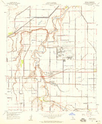
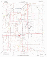
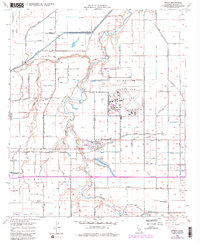
Editions of this 1957 Seeley Map
5 editions found
Other maps of this area

1915 · El Centro
USGS Topo · 1:125,000

1940 · Brawley
USGS Topo · 1:62,500

1940 · Heber
USGS Topo · 1:62,500

1940 · Plaster City
USGS Topo · 1:62,500

1940 · Coyote Wells
USGS Topo · 1:62,500

1942 · El Centro
USGS Topo · 1:250,000

1943 · Coyote Wells
USGS Topo · 1:62,500

1943 · Heber
USGS Topo · 1:62,500

1943 · Brawley
USGS Topo · 1:62,500

1944 · Plaster City
USGS Topo · 1:62,500