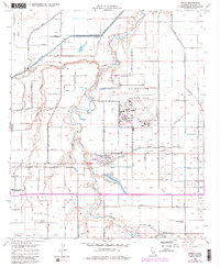
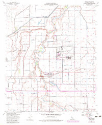
1957 Map of Seeley
USGS Topo · Published 1983About this map
The settlement of Seeley serves as the focal point of this mid-century survey of the Imperial Valley, where the intricate network of irrigation drains and sloughs defines the agricultural character of the desert landscape. To the north and east, the El Centro Naval Air Facility represents a significant military presence, with its runways and support buildings clearly delineated against the surrounding fields. The hydrology of the area is particularly complex, featuring the meandering course of the New River and engineered water bodies like Sunbeam Lake within Sunbeam County Park. The map also captures a period of educational transition in the valley, marking the locations of Lantana School and Westside School, while noting the Silsbee School (Aband). Transport and communication infrastructure are well-documented, from the tracks of the San Diego and Arizona Eastern railroad to specialized landmarks like a Radio Beam Sta.
Find a feature on this map
18 named features on this map. Tap any name to fly to it.
Don’t see what you’re looking for? This feature index may not catch every label — zoom into the map to look around manually.
Map Details
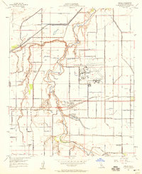
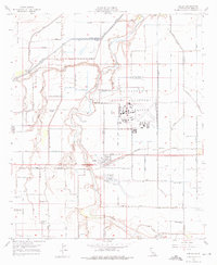
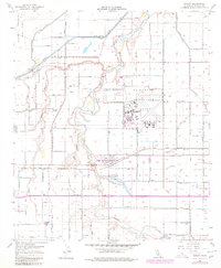
Editions of this 1957 Seeley Map
5 editions found
Other maps of this area

1915 · El Centro
USGS Topo · 1:125,000

1940 · Brawley
USGS Topo · 1:62,500

1940 · Heber
USGS Topo · 1:62,500

1940 · Plaster City
USGS Topo · 1:62,500

1940 · Coyote Wells
USGS Topo · 1:62,500

1942 · El Centro
USGS Topo · 1:250,000

1943 · Coyote Wells
USGS Topo · 1:62,500

1943 · Heber
USGS Topo · 1:62,500

1943 · Brawley
USGS Topo · 1:62,500

1944 · Plaster City
USGS Topo · 1:62,500