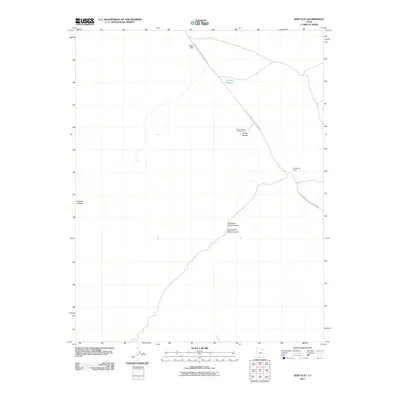
2011 Map of Seep Flat
USGS Topo · Published 2011About this map
Glen Canyon National Rec Area Rd serves as the primary artery through this high-desert landscape, connecting remote outposts and geologic landmarks. The map illustrates a region defined by dramatic erosional features, including the distinct formations of Devils Garden and the seasonal catchment of Barney Reservoir. Near the center of the sheet, the Devils Garden Campground provides a developed point of interest for those navigating the arid terrain between the deep recesses of Carcass Canyon and the converging paths of Left Hand Collet Canyon and Right Hand Collet Canyon. Further east, Twentymile Corral stands as a marker of the area's grazing history, situated near the broad, open expanse of Seep Flat.
Find a feature on this map
9 named features on this map. Tap any name to fly to it.
Don’t see what you’re looking for? This feature index may not catch every label — zoom into the map to look around manually.
Map Details
Editions of this 2011 Seep Flat Map
This is the sole edition of this map. No revisions or reprints were ever made.
Other maps of this area

1886 · Escalante
USGS Topo · 1:250,000

1922 · Upper Last Chance
USGS Topo · 1:63,360

1922 · Rees Canyon
USGS Topo · 1:63,360

1956 · Escalante
USGS Topo · 1:250,000

1960 · Escalante
USGS Topo · 1:250,000

1964 · Sunset Flat
USGS Topo · 1:24,000

1964 · Tenmile Flat
USGS Topo · 1:24,000

1964 · Dave Canyon
USGS Topo · 1:24,000

1964 · Seep Flat
USGS Topo · 1:24,000

1964 · Carcass Canyon
USGS Topo · 1:24,000