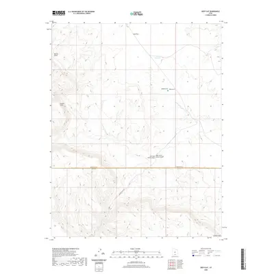
2020 Map of Seep Flat
USGS Topo · Published 2020About this map
Straight Cliffs dominate the southwestern and northeastern corners of this 2020 survey, framing a landscape of dramatic natural formations and canyon drainages. The area is defined by its geological features, including the Metate Arch and Mano Arch, which stand as landmarks in the central-east. Human presence is sparse, marked primarily by the seasonal Burney Reservoir and the winding path of Missing Canyon Rd that traverses the southern half of the quadrangle.
Find a feature on this map
10 named features on this map. Tap any name to fly to it.
Don’t see what you’re looking for? This feature index may not catch every label — zoom into the map to look around manually.
Map Details
Editions of this 2020 Seep Flat Map
This is the sole edition of this map. No revisions or reprints were ever made.
Other maps of this area

1886 · Escalante
USGS Topo · 1:250,000

1922 · Upper Last Chance
USGS Topo · 1:63,360

1922 · Rees Canyon
USGS Topo · 1:63,360

1956 · Escalante
USGS Topo · 1:250,000

1960 · Escalante
USGS Topo · 1:250,000

1964 · Sunset Flat
USGS Topo · 1:24,000

1964 · Tenmile Flat
USGS Topo · 1:24,000

1964 · Dave Canyon
USGS Topo · 1:24,000

1964 · Seep Flat
USGS Topo · 1:24,000

1964 · Carcass Canyon
USGS Topo · 1:24,000