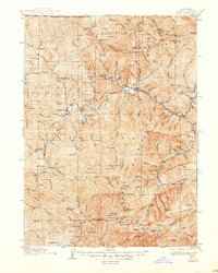
1922 Map of Seiad
USGS Topo · Published 1945About this map
Klamath River gold mining and wilderness surveying define this 1913-1914 study of the Siskiyou Mountains along the California Oregon Boundary Line. The terrain is marked by significant early 20th-century mining operations, including the Blue Ledge Mine in the north and the Bunker Hill Mine to the west. Small settlements like Happy Camp and Seiad Valley serve as anchors along the river, connected by critical infrastructure of the era such as Gordons Ferry. The landscape is dotted with evidence of early settler life, from the Johnsons Dairy to localized education centers like Horse Creek School and Lowden School. Rising above the river valleys, the Rogue River National Forest encompasses high peaks such as Rattlesnake Mtn and Kings Castle, while isolated outposts like Millers Cabin and Fergusons Cabin indicate the deep reach of early forest and range management.
Find a feature on this map
172 named features on this map. Tap any name to fly to it.
Don’t see what you’re looking for? This feature index may not catch every label — zoom into the map to look around manually.
Map Details
Editions of this 1922 Seiad Map
4 editions found

Other maps of this area

1886 · Shasta
USGS Topo · 1:250,000

1891 · Ashland
USGS Topo · 1:250,000

1893 · Ashland
USGS Topo · 1:250,000

1894 · Shasta
USGS Topo · 1:250,000

1897 · Ashland
USGS Topo · 1:250,000

1908 · Grants Pass
USGS Topo · 1:125,000

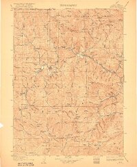
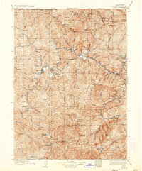
1914 · Seiad
USGS Topo · 1:125,000

1917 · Kerby
USGS Topo · 1:125,000

1918 · Kerby
USGS Topo · 1:125,000

1922 · Preston Peak
USGS Topo · 1:125,000