
1922 Map of Seiad
USGS Topo · Published 1922About this map
The Klamath River carves a winding path through this corner of Siskiyou County, serving as the central artery for a landscape defined by gold mining and early mountain settlement. Surveyed just before the Great War, the map reveals a network of remote mining operations like the Blue Ledge Mine near the California Oregon Boundary Line and the Bunker Hill Mine further south. These industrial pockets are linked by river crossings such as Gordons Ferry and isolated outposts like Whites Stage Sta.
Find a feature on this map
117 named features on this map. Tap any name to fly to it.
Don’t see what you’re looking for? This feature index may not catch every label — zoom into the map to look around manually.
Map Details
Editions of this 1922 Seiad Map
4 editions found
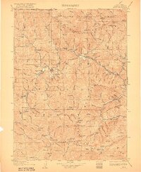
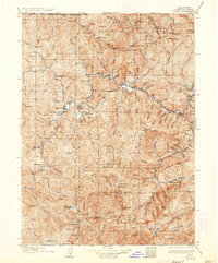
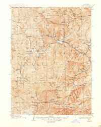
Other maps of this area

1886 · Shasta
USGS Topo · 1:250,000

1891 · Ashland
USGS Topo · 1:250,000

1893 · Ashland
USGS Topo · 1:250,000

1894 · Shasta
USGS Topo · 1:250,000

1897 · Ashland
USGS Topo · 1:250,000

1908 · Grants Pass
USGS Topo · 1:125,000

1914 · Seiad
USGS Topo · 1:125,000

1917 · Kerby
USGS Topo · 1:125,000

1918 · Kerby
USGS Topo · 1:125,000

1922 · Preston Peak
USGS Topo · 1:125,000