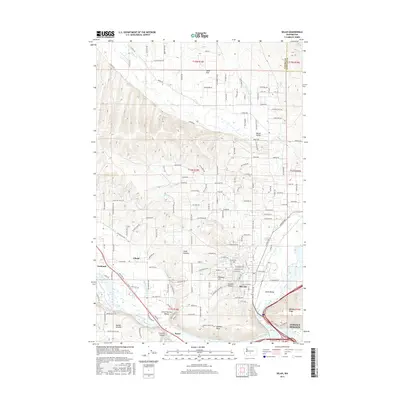
2017 Map of Selah
USGS Topo · Published 2017About this map
The Yakima River and Naches River define the lower elevations of this Yakima County landscape, where the confluence shaped early settlement patterns and irrigation infrastructure. The irrigation network, including the Number 1 Lateral and Gleed Ditch, supported the agricultural development of areas like Selah Heights and the Lower Naches Valley. While the town of Selah serves as a primary hub, the surrounding valleys are dotted with distinct communities such as Gleed, Eschbach, and Brace.
Find a feature on this map
92 named features on this map. Tap any name to fly to it.
Don’t see what you’re looking for? This feature index may not catch every label — zoom into the map to look around manually.
Map Details
Editions of this 2017 Selah Map
This is the sole edition of this map. No revisions or reprints were ever made.
Other maps of this area

1899 · Ellensburg
USGS Topo · 1:125,000

1901 · Ellensburg
USGS Topo · 1:125,000

1936 · Yakima East
USGS Topo · 1:48,000

1938 · Badger Pocket
USGS Topo · 1:48,000

1941 · Yakima East
USGS Topo · 1:62,500

1943 · Badger Pocket
USGS Topo · 1:62,500

1950 · Yakima
USGS Topo · 1:250,000

1953 · Pomona
USGS Topo · 1:24,000

1953 · Yakima East
USGS Topo · 1:24,000
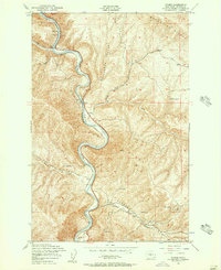
1953 · Wymer
USGS Topo · 1:24,000