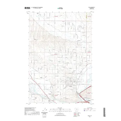
2020 Map of Selah
USGS Topo · Published 2020About this map
Selah serves as the central hub of this landscape, situated at the confluence of a complex irrigation network and the Naches River. This modern survey illustrates the intensive water management required for agriculture in the valley, featuring the Selah Valley Canal, Gleed Ditch, and Congdon Canal. These waterways navigate the varied terrain between Mammoth Mtn and the Yakima Ridge, supporting settlements like Gleed and Selah Heights.
Find a feature on this map
177 named features on this map. Tap any name to fly to it.
Don’t see what you’re looking for? This feature index may not catch every label — zoom into the map to look around manually.
Map Details
Editions of this 2020 Selah Map
This is the sole edition of this map. No revisions or reprints were ever made.
Other maps of this area

1899 · Ellensburg
USGS Topo · 1:125,000

1901 · Ellensburg
USGS Topo · 1:125,000

1936 · Yakima East
USGS Topo · 1:48,000

1938 · Badger Pocket
USGS Topo · 1:48,000

1941 · Yakima East
USGS Topo · 1:62,500

1943 · Badger Pocket
USGS Topo · 1:62,500

1950 · Yakima
USGS Topo · 1:250,000

1953 · Pomona
USGS Topo · 1:24,000

1953 · Yakima East
USGS Topo · 1:24,000
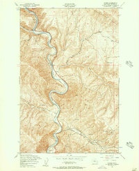
1953 · Wymer
USGS Topo · 1:24,000