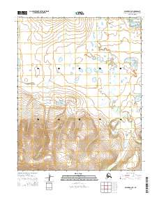
2015 Map of Selawik A-3 NE
USGS Topo · Published 2015About this map
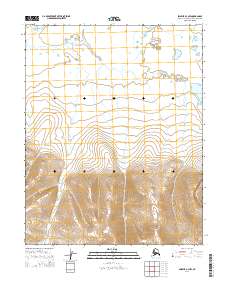
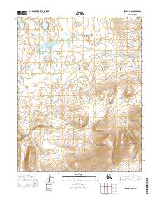
The Selawik Hills dominate the southern portion of this landscape, rising sharply from the surrounding lowlands in the Northwest Arctic region of Alaska. This 2015 survey reveals a terrain defined by complex water systems, where the meandering Mangook River and the Kauk River snake through the northern and western reaches. The drainage pattern of Lomen Cr provides a topographical link between the high elevations of the hills and the lower river basins. This map illustrates the intersection of several townships, including t9n r7w and t8n r7w, highlighting the vast, uninhabited stretches of the Alaskan wilderness before they reach the Selawik Lake area to the west.
Find a feature on this map
11 named features on this map. Tap any name to fly to it.
Don’t see what you’re looking for? This feature index may not catch every label — zoom into the map to look around manually.
Map Details
Editions of this 2015 Selawik A-3 NE Map
This is the sole edition of this map. No revisions or reprints were ever made.
Other maps of this area

1951 · Selawik
USGS Topo · 1:250,000

1955 · Selawik B-3
USGS Topo · 1:63,360

1955 · Selawik A-3
USGS Topo · 1:63,360

1957 · Selawik
USGS Topo · 1:250,000
1985 · Selawik A-2
USGS Topo · 1:63,360
1985 · Selawik B-2
USGS Topo · 1:63,360
2014 · Selawik A-3 SW
USGS Topo · 1:25,000
2014 · Selawik A-3 NW
USGS Topo · 1:25,000
2014 · Selawik A-2 NW
USGS Topo · 1:25,000

2014 · Selawik A-3 SE
USGS Topo · 1:25,000