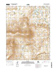
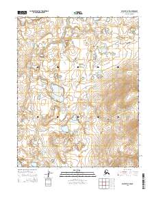
2015 Map of Selawik B-2 SE
USGS Topo · Published 2015About this map
The Northwest Arctic landscape shown here is defined by its Public Land Survey System structure, which includes T11n R5w, T11n R4w, T10n R5w, and T10n R4w. This region of Alaska exhibits a complex pattern of high-latitude terrain and water bodies, with the topographic contours revealing significant elevations that contrast with lower-lying wetlands. The grid system highlights the systematic division of this northern wilderness, serving as a critical reference for land management and environmental study within the borough. These survey boundaries are essential for understanding the administrative framework of this remote arctic territory during the early twenty-first century.
Find a feature on this map
4 named features on this map. Tap any name to fly to it.
Don’t see what you’re looking for? This feature index may not catch every label — zoom into the map to look around manually.
Map Details
Editions of this 2015 Selawik B-2 SE Map
This is the sole edition of this map. No revisions or reprints were ever made.
Other maps of this area

1951 · Selawik
USGS Topo · 1:250,000

1957 · Selawik
USGS Topo · 1:250,000
1985 · Selawik A-1
USGS Topo · 1:63,360
1985 · Selawik A-2
USGS Topo · 1:63,360
1985 · Selawik B-2
USGS Topo · 1:63,360
1985 · Selawik B-1
USGS Topo · 1:63,360
2014 · Selawik A-2 NW
USGS Topo · 1:25,000
2015 · Selawik A-1 NW
USGS Topo · 1:25,000
2015 · Selawik B-1 SW
USGS Topo · 1:25,000
2015 · Selawik B-2 SW
USGS Topo · 1:25,000