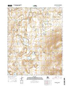
2015 Map of Selawik B-2 SW
USGS Topo · Published 2015About this map
Hunt Creek meanders through the central and western sections of this Alaskan landscape, providing the primary hydrological feature within the t11n r6w and t10n r6w townships. The terrain is characterized by a high density of small lakes and ponds, typical of the Arctic coastal plain's thermokarst activity, particularly prominent in the northern reaches of the quadrangle. In the eastern portions of t11n r5w and t10n r5w, the topography rises more sharply, contrasting with the lower, water-saturated flats to the west. This 2015 survey represents a contemporary record of a remote region where the drainage patterns of Hunt Creek and the surrounding unorganized water bodies dictate the natural geography of the Northwest Arctic Borough.
Find a feature on this map
5 named features on this map. Tap any name to fly to it.
Don’t see what you’re looking for? This feature index may not catch every label — zoom into the map to look around manually.
Map Details
Editions of this 2015 Selawik B-2 SW Map
This is the sole edition of this map. No revisions or reprints were ever made.
Other maps of this area

1951 · Selawik
USGS Topo · 1:250,000

1955 · Selawik B-3
USGS Topo · 1:63,360

1955 · Selawik A-3
USGS Topo · 1:63,360

1957 · Selawik
USGS Topo · 1:250,000
1985 · Selawik A-2
USGS Topo · 1:63,360
1985 · Selawik B-2
USGS Topo · 1:63,360
2014 · Selawik A-2 NW
USGS Topo · 1:25,000
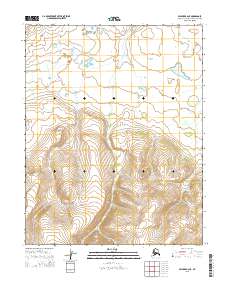
2015 · Selawik A-2 NE
USGS Topo · 1:25,000
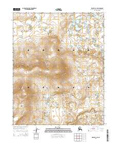
2015 · Selawik B-2 SE
USGS Topo · 1:25,000
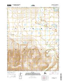
2015 · Selawik A-3 NE
USGS Topo · 1:25,000