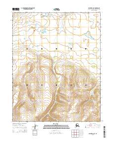
2015 Map of Selawik A-2 NE
USGS Topo · Published 2015About this map
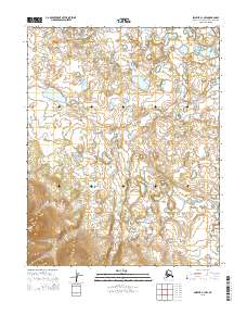
Hunt Creek defines the hydrography of this interior region within the Northwest Arctic Borough. This specific terrain demonstrates a dramatic transition from the northern alluvial plains and wetlands into the steep, rising elevation of the southern slopes. The topographic contouring reveals a complex drainage network where Hunt Creek meanders through the township boundaries of t10n r5w and t9n r5w, illustrating the natural watershed patterns of the Alaskan wilderness before significant modern infrastructure. The map's focus on the intersection of several township and range boundaries, including t10n r4w and t9n r4w, provides a clear view of the cadastral framework used to organize this remote landscape.
Find a feature on this map
7 named features on this map. Tap any name to fly to it.
Don’t see what you’re looking for? This feature index may not catch every label — zoom into the map to look around manually.
Map Details
Editions of this 2015 Selawik A-2 NE Map
This is the sole edition of this map. No revisions or reprints were ever made.
Other maps of this area

1951 · Selawik
USGS Topo · 1:250,000

1957 · Selawik
USGS Topo · 1:250,000
1985 · Selawik A-1
USGS Topo · 1:63,360
1985 · Selawik A-2
USGS Topo · 1:63,360
1985 · Selawik B-2
USGS Topo · 1:63,360
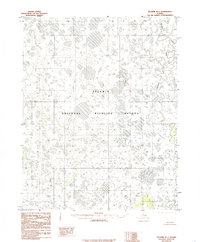
1985 · Selawik B-1
USGS Topo · 1:63,360
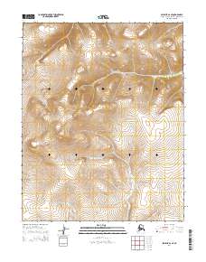
2014 · Selawik A-2 SE
USGS Topo · 1:25,000
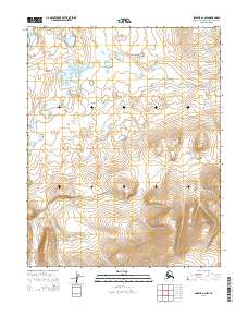
2014 · Selawik A-2 NW
USGS Topo · 1:25,000
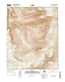
2014 · Selawik A-2 SW
USGS Topo · 1:25,000
2015 · Selawik A-1 NW
USGS Topo · 1:25,000