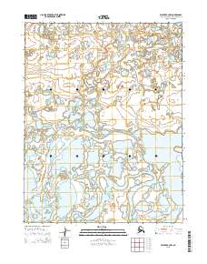
2015 Map of Selawik C-2 NW
USGS Topo · Published 2015About this map
Fish River meanders across this low-lying landscape, defining the local hydrology of the Northwest Arctic. The terrain is characterized by a dense network of ponds and wetlands, typical of the Arctic coastal plain, where the shifting channels of the river influence the surrounding topography. In the southwestern portion of the sheet, the waters of Shogvik Lake sit within a broader mosaic of smaller unnamed lakes and marshes. This 2015 survey reflects the contemporary state of this remote wilderness, providing a precise record of water bodies and township boundaries including t16n r6w, t15n r6w, and t14n r6w. The lack of man-made infrastructure or named settlements underscores the purely natural character of this sub-arctic environment, where seasonal water levels and permafrost dictate the shape of the land.
Find a feature on this map
8 named features on this map. Tap any name to fly to it.
Don’t see what you’re looking for? This feature index may not catch every label — zoom into the map to look around manually.
Map Details
Editions of this 2015 Selawik C-2 NW Map
This is the sole edition of this map. No revisions or reprints were ever made.
Other maps of this area

1951 · Selawik
USGS Topo · 1:250,000

1955 · Selawik D-2
USGS Topo · 1:63,360

1955 · Selawik C-3
USGS Topo · 1:63,360

1955 · Selawik D-3
USGS Topo · 1:63,360

1957 · Selawik
USGS Topo · 1:250,000
1985 · Selawik C-2
USGS Topo · 1:63,360
2015 · Selawik D-3 SE
USGS Topo · 1:25,000
2015 · Selawik D-2 SW
USGS Topo · 1:25,000
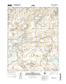
2015 · Selawik C-2 NE
USGS Topo · 1:25,000
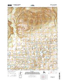
2015 · Selawik D-2 SE
USGS Topo · 1:25,000