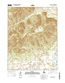
2015 Map of Selawik D-2 SW
USGS Topo · Published 2015About this map
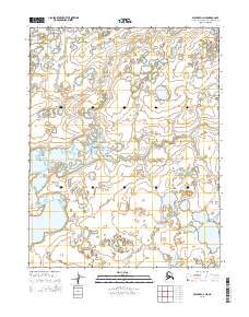
The Fish River winds through the southeastern corner of this arctic landscape, punctuating an otherwise high-elevation terrain defined by complex contour patterns and drainage basins. Surveyed in 2015, the map captures the transition from highland slopes in the north to the pond-heavy lowlands of the south. This area is organized by the Public Land Survey System within T17n R6w, T17n R5w, T16n R6w, and T16n R5w, providing a clear record of administrative boundaries in the Northwest Arctic Borough. The lack of named settlements or roads highlights the isolation of this terrain, where the hydrography of the Fish River basin remains the primary landmark for navigation and land management.
Find a feature on this map
5 named features on this map. Tap any name to fly to it.
Don’t see what you’re looking for? This feature index may not catch every label — zoom into the map to look around manually.
Map Details
Editions of this 2015 Selawik D-2 SW Map
This is the sole edition of this map. No revisions or reprints were ever made.
Other maps of this area

1951 · Selawik
USGS Topo · 1:250,000

1955 · Selawik D-2
USGS Topo · 1:63,360

1955 · Selawik C-3
USGS Topo · 1:63,360

1955 · Selawik D-3
USGS Topo · 1:63,360

1957 · Selawik
USGS Topo · 1:250,000
1985 · Selawik C-2
USGS Topo · 1:63,360
2015 · Selawik D-3 SE
USGS Topo · 1:25,000
2015 · Selawik C-2 NW
USGS Topo · 1:25,000
2015 · Selawik C-2 NE
USGS Topo · 1:25,000
2015 · Selawik D-2 NW
USGS Topo · 1:25,000