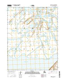
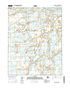
2016 Map of Selawik C-5 SW
USGS Topo · Published 2016About this map
Hotham Inlet dominates the southern reaches of this Northwest Arctic landscape, serving as a significant coastal water body where the region's complex network of waterways eventually converges. The terrain is defined by a dense labyrinth of meandering sloughs and channels that segment the low-lying wetlands. Key arteries such as Nazuruk Channel and Mukuksok Channel weave through the delta-like environment, illustrating the natural hydraulic patterns of this remote coastal area. Attiunik Channel and Emansierak Channel further divide the land into a series of islands and peninsulas, highlighting a landscape where water and land are nearly indistinguishable. This survey captures a moment in the shifting hydrography of the Alaskan arctic, where seasonal changes and sedimentation constantly reshape the navigable paths through the inlet.
Find a feature on this map
9 named features on this map. Tap any name to fly to it.
Don’t see what you’re looking for? This feature index may not catch every label — zoom into the map to look around manually.
Map Details
Editions of this 2016 Selawik C-5 SW Map
This is the sole edition of this map. No revisions or reprints were ever made.
Other maps of this area

1951 · Selawik
USGS Topo · 1:250,000

1951 · Selawik C-6
USGS Topo · 1:63,360

1951 · Selawik B-6
USGS Topo · 1:63,360

1951 · Selawik B-5
USGS Topo · 1:63,360

1955 · Selawik C-5
USGS Topo · 1:63,360

1957 · Selawik
USGS Topo · 1:250,000
2015 · Selawik C-5 NW
USGS Topo · 1:25,000
2016 · Selawik B-5 NW
USGS Topo · 1:25,000
2016 · Selawik C-5 NE
USGS Topo · 1:25,000
2016 · Selawik C-6 NE
USGS Topo · 1:25,000