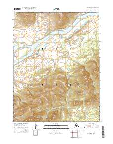
2015 Map of Selawik D-3 NE
USGS Topo · Published 2015About this map
The Kobuk River flows through this northern landscape, which is defined by a dense network of watercourses and elevation changes. In this remote portion of the Northwest Arctic Borough, the river is the central geographical feature, joined by tributaries such as Napautokik Cr from the north and the winding Naluk Cr from the south. The terrain varies from the flat river valley bottom to higher ground marked by significant contouring, suggesting a landscape of tundra and brush common to this part of Alaska. This survey reflects the region's wilderness character, where movement is dictated by the river and the drainages that feed into it, with no roads or permanent settlements recorded within the immediate area during this period.
Find a feature on this map
9 named features on this map. Tap any name to fly to it.
Don’t see what you’re looking for? This feature index may not catch every label — zoom into the map to look around manually.
Map Details
Editions of this 2015 Selawik D-3 NE Map
This is the sole edition of this map. No revisions or reprints were ever made.
Other maps of this area

1951 · Baird Mountains
USGS Topo · 1:250,000

1951 · Selawik
USGS Topo · 1:250,000

1955 · Selawik D-2
USGS Topo · 1:63,360

1955 · Baird Mountains A-2
USGS Topo · 1:63,360

1955 · Selawik D-3
USGS Topo · 1:63,360

1955 · Baird Mountains A-3
USGS Topo · 1:63,360

1956 · Baird Mountains
USGS Topo · 1:250,000

1957 · Selawik
USGS Topo · 1:250,000

1965 · Baird Mountains
USGS Topo · 1:250,000
2015 · Selawik D-3 SE
USGS Topo · 1:25,000