
1955 Map of Selawik D-5
USGS Topo · Published 1968About this map
Noorvik sits along the eastern edge of this mid-century survey, serving as a primary settlement within the expansive Kobuk Native Reservation. The landscape is dominated by a complex hydraulic network of channels and lakes that illustrate the dynamic nature of the Kobuk River delta. Waterways like Melvin Channel, Riley Channel, and Nazuruk Channel carve through the terrain, defining the movement and subsistence patterns of the region.
Find a feature on this map
16 named features on this map. Tap any name to fly to it.
Don’t see what you’re looking for? This feature index may not catch every label — zoom into the map to look around manually.
Map Details
Editions of this 1955 Selawik D-5 Map
This is the sole edition of this map. No revisions or reprints were ever made.
Other maps of this area

1951 · Baird Mountains
USGS Topo · 1:250,000

1951 · Selawik
USGS Topo · 1:250,000

1951 · Selawik C-6
USGS Topo · 1:63,360

1951 · Selawik D-6
USGS Topo · 1:63,360

1952 · Selawik D-6
USGS Topo · 1:63,360

1955 · Selawik D-4
USGS Topo · 1:63,360

1955 · Selawik C-5
USGS Topo · 1:63,360
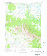
1955 · Baird Mountains A-5
USGS Topo · 1:63,360

1955 · Selawik C-4
USGS Topo · 1:63,360
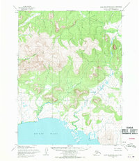
1955 · Baird Mountains A-6
USGS Topo · 1:63,360