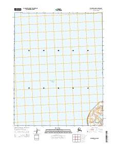
2014 Map of Selawik D-6 NW
USGS Topo · Published 2014About this map
Hotham Inlet dominates this coastal landscape on the edge of the Baldwin Peninsula, where the open water of the inlet meets the low-lying shoreline of northwest Alaska. This 2014 topographic survey captures a sparsely populated coastal environment defined more by its expansive hydrologic features than by permanent settlements. While the eastern portion of the map is delineated by various township and range boundaries including t18n r14w, the western half is almost entirely comprised of the waters within the Hotham Inlet. The topographical detail in the southeast corner provides the only terrestrial elevation data on the sheet, illustrating the transition from the inlet's edge to the rising terrain of the interior. This map is a clean record of the shoreline and maritime boundaries in the Northwest Arctic Borough just before the mid-2010s.
Find a feature on this map
5 named features on this map. Tap any name to fly to it.
Don’t see what you’re looking for? This feature index may not catch every label — zoom into the map to look around manually.
Map Details
Editions of this 2014 Selawik D-6 NW Map
This is the sole edition of this map. No revisions or reprints were ever made.
Other maps of this area

1951 · Baird Mountains
USGS Topo · 1:250,000

1951 · Selawik
USGS Topo · 1:250,000

1951 · Noatak
USGS Topo · 1:250,000

1951 · Kotzebue
USGS Topo · 1:250,000

1951 · Kotzebue D-1
USGS Topo · 1:63,360

1951 · Selawik D-6
USGS Topo · 1:63,360

1952 · Selawik D-6
USGS Topo · 1:63,360

1955 · Noatak
USGS Topo · 1:250,000
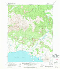
1955 · Baird Mountains A-6
USGS Topo · 1:63,360
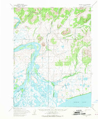
1955 · Noatak A-1
USGS Topo · 1:63,360