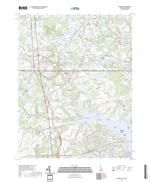
2023 Map of Selbyville
USGS Topo · Published 2023About this map
The Delmarva Peninsula landscape captured here reveals the intricate intersection of the Delaware and Maryland border, where the coastal plains of Sussex and Worcester counties meet. Historically rooted settlements like Selbyville, Bishopville, and Showell serve as anchor points for a region defined by its tidal waterways and agricultural drainage systems. The map meticulously documents a wealth of local heritage sites, from the Old Sound Methodist Church near Johnson to the Old Saint Martins Cem further south.
Find a feature on this map
226 named features on this map. Tap any name to fly to it.
Don’t see what you’re looking for? This feature index may not catch every label — zoom into the map to look around manually.
Map Details
Editions of this 2023 Selbyville Map
This is the sole edition of this map. No revisions or reprints were ever made.
Other maps of this area

1901 · Ocean City
USGS Topo · 1:62,500

1902 · Pittsville
USGS Topo · 1:62,500

1917 · Millsboro
USGS Topo · 1:62,500

1918 · Rehoboth
USGS Topo · 1:62,500

1938 · Millsboro
USGS Topo · 1:62,500

1938 · Rehoboth
USGS Topo · 1:62,500

1942 · Ocean City
USGS Topo · 1:62,500

1942 · Ninepin
USGS Topo · 1:24,000

1942 · Ocean City
USGS Topo · 1:24,000

1942 · Whaleysville
USGS Topo · 1:24,000