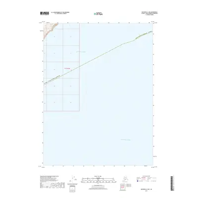
2017 Map of Seldovia A-3 NE
USGS Topo · Published 2017About this map
The Gulf of Alaska dominates this coastal survey, where the deep Pacific waters meet the southwestern edge of the Kenai Peninsula Borough. Most of the area is maritime, with a small section of the landmass visible in the upper left corner, providing a clear view of the transition from offshore waters to the rugged Alaskan coastline. The Public Land Survey System grid identifies this township as T11s R10w, part of the Seward Meridian. This 2017 edition records the jurisdictional boundary line cutting diagonally across the gulf, marking the administrative reach of the borough into the open sea. It is a focused study of a specific maritime corridor where few landmarks exist beyond the vast expanse of the northern gulf.
Find a feature on this map
4 named features on this map. Tap any name to fly to it.
Don’t see what you’re looking for? This feature index may not catch every label — zoom into the map to look around manually.
Map Details
Editions of this 2017 Seldovia A-3 NE Map
This is the sole edition of this map. No revisions or reprints were ever made.
Other maps of this area

1951 · Seldovia
USGS Topo · 1:250,000

1951 · Seldovia A-3
USGS Topo · 1:63,360

1951 · Seldovia B-2
USGS Topo · 1:63,360

1951 · Seldovia B-3
USGS Topo · 1:63,360

1952 · Seldovia A-3
USGS Topo · 1:63,360

1952 · Seldovia B-3
USGS Topo · 1:63,360

1953 · Seldovia B-2
USGS Topo · 1:63,360

1963 · Seldovia
USGS Topo · 1:250,000
2017 · Seldovia B-2 SW
USGS Topo · 1:25,000
2017 · Seldovia B-3 SE
USGS Topo · 1:25,000