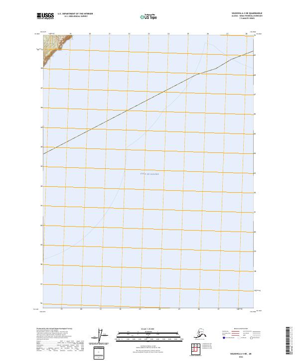
2024 Map of Seldovia A-3 NE
USGS Topo · Published 2024About this map
The Gulf of Alaska dominates this quadrangle, covering nearly the entire sheet with its open waters. Only a small portion of the northwestern corner transitions to land, where the terrestrial environment is protected as part of the Alaska Maritime National Wildlife Refuge. This coastal strip represents a remote interface between the subarctic marine ecosystem and the rugged shoreline of the Kenai Peninsula.
Find a feature on this map
21 named features on this map. Tap any name to fly to it.
Don’t see what you’re looking for? This feature index may not catch every label — zoom into the map to look around manually.
Map Details
Editions of this 2024 Seldovia A-3 NE Map
This is the sole edition of this map. No revisions or reprints were ever made.
Other maps of this area

1951 · Seldovia
USGS Topo · 1:250,000

1951 · Seldovia A-3
USGS Topo · 1:63,360

1951 · Seldovia B-2
USGS Topo · 1:63,360

1951 · Seldovia B-3
USGS Topo · 1:63,360

1952 · Seldovia A-3
USGS Topo · 1:63,360

1952 · Seldovia B-3
USGS Topo · 1:63,360

1953 · Seldovia B-2
USGS Topo · 1:63,360

1963 · Seldovia
USGS Topo · 1:250,000
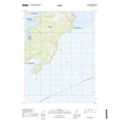
2017 · Seldovia B-2 SW
USGS Topo · 1:25,000
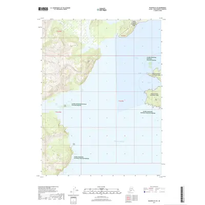
2017 · Seldovia B-3 SE
USGS Topo · 1:25,000