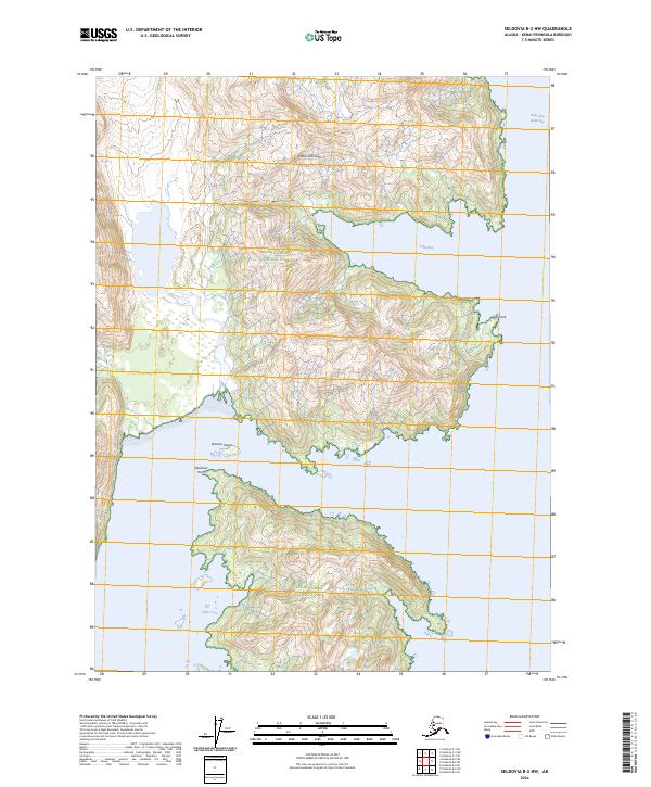
2024 Map of Seldovia B-2 NW
USGS Topo · Published 2024About this map
Kenai Fjords National Park and the Alaska Maritime National Wildlife Refuge dominate this coastal reach of the Kenai Peninsula, where steep glaciated terrain meets the complex inlets of the Gulf of Alaska. The map traces a coastline defined by deep fjords and strategic maritime landmarks, including the protected waters of West Arm Nuka Bay and the sheltered Home Cove. The interaction between the high ridges of the interior and the sea is marked by prominent coastal features such as Yalik Point and Hardover Point. Offshore, Division Island sits at the mouth of Yalik Bay, illustrating the intricate island and bay systems that characterize this federally protected wilderness. This survey provides a precise look at the township and range boundaries, such as t8s r9w, as they overlay this largely roadless and preserved landscape.
Find a feature on this map
13 named features on this map. Tap any name to fly to it.
Don’t see what you’re looking for? This feature index may not catch every label — zoom into the map to look around manually.
Map Details
Editions of this 2024 Seldovia B-2 NW Map
This is the sole edition of this map. No revisions or reprints were ever made.
Other maps of this area

1951 · Seldovia
USGS Topo · 1:250,000

1951 · Seldovia B-2
USGS Topo · 1:63,360

1951 · Seldovia B-3
USGS Topo · 1:63,360

1951 · Seldovia C-3
USGS Topo · 1:63,360

1952 · Seldovia B-3
USGS Topo · 1:63,360

1953 · Seldovia C-3
USGS Topo · 1:63,360

1953 · Seldovia B-2
USGS Topo · 1:63,360

1953 · Seldovia C-2
USGS Topo · 1:63,360

1963 · Seldovia
USGS Topo · 1:250,000
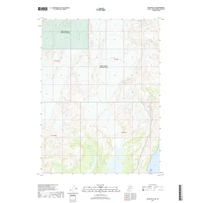
2017 · Seldovia B-3 NE
USGS Topo · 1:25,000