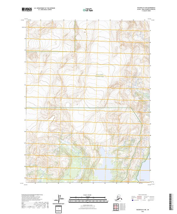
2024 Map of Seldovia B-3 NE
USGS Topo · Published 2024About this map
Kenai Fjords National Park and the Kenai National Wildlife Refuge converge in this high-altitude landscape of the Kenai Wilderness (Andrew Simons Unit). This 2024 survey captures the intricate contour patterns of the Kenai Peninsula’s interior, where steep glacial-carved ridges transition toward the coastal marker of Petrof Point at the southern edge. The map provides a contemporary record of federal land management boundaries within the Kenai Peninsula Borough, specifically tracking the t8s r9w and t9s r9w township lines through some of Alaska's most protected wildlands. The intersection of these distinct wilderness and park designations illustrates the complex conservation architecture established to preserve this remote terrain.
Find a feature on this map
8 named features on this map. Tap any name to fly to it.
Don’t see what you’re looking for? This feature index may not catch every label — zoom into the map to look around manually.
Map Details
Editions of this 2024 Seldovia B-3 NE Map
This is the sole edition of this map. No revisions or reprints were ever made.
Other maps of this area

1951 · Seldovia
USGS Topo · 1:250,000

1951 · Seldovia B-2
USGS Topo · 1:63,360

1951 · Seldovia B-3
USGS Topo · 1:63,360

1951 · Seldovia C-3
USGS Topo · 1:63,360

1952 · Seldovia B-3
USGS Topo · 1:63,360

1953 · Seldovia C-3
USGS Topo · 1:63,360

1953 · Seldovia B-2
USGS Topo · 1:63,360

1953 · Seldovia C-2
USGS Topo · 1:63,360

1963 · Seldovia
USGS Topo · 1:250,000
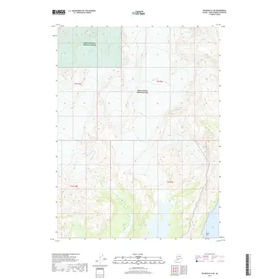
2017 · Seldovia B-3 NE
USGS Topo · 1:25,000