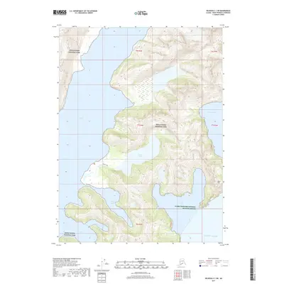
2017 Map of Seldovia C-1 SW
USGS Topo · Published 2017About this map
Kenai Fjords National Park dominates this coastal landscape, where the waters of McCarty Fiord carve deeply into the Kenai Peninsula. The geography is defined by narrow inlets and protected waters such as Thunder Bay, Black Bay, and the evocative Midnight Cove and Moonlight Bay along the southern coastline. Further inland, the freshwater Delight Lake is accessible via the Delight Trail, which winds through the steep contours near Black Mtn. The southeastern portion of the map transitions into the Alaska Maritime National Wildlife Refuge at the edge of the Gulf of Alaska. This survey provides a precise look at the glaciated coastline and maritime boundaries before further contemporary changes, capturing the complex relationship between the McCarty Lagoon and the open sea.
Find a feature on this map
17 named features on this map. Tap any name to fly to it.
Don’t see what you’re looking for? This feature index may not catch every label — zoom into the map to look around manually.
Map Details
Editions of this 2017 Seldovia C-1 SW Map
This is the sole edition of this map. No revisions or reprints were ever made.
Other maps of this area

1951 · Seldovia
USGS Topo · 1:250,000

1951 · Seldovia B-2
USGS Topo · 1:63,360
1953 · Seldovia B-1
USGS Topo · 1:63,360

1953 · Seldovia B-2
USGS Topo · 1:63,360

1953 · Seldovia C-2
USGS Topo · 1:63,360
1953 · Seldovia C-1
USGS Topo · 1:63,360

1963 · Seldovia
USGS Topo · 1:250,000
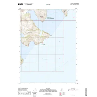
2017 · Seldovia C-1 SE
USGS Topo · 1:25,000
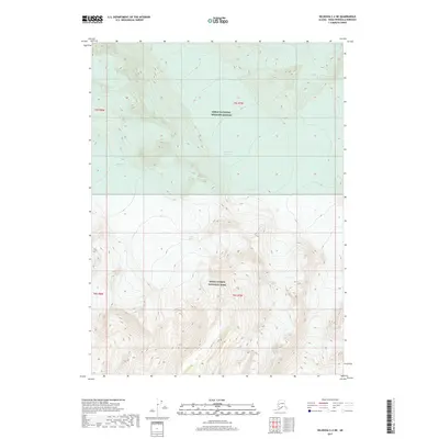
2017 · Seldovia C-2 NE
USGS Topo · 1:25,000
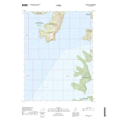
2017 · Seldovia B-2 NE
USGS Topo · 1:25,000