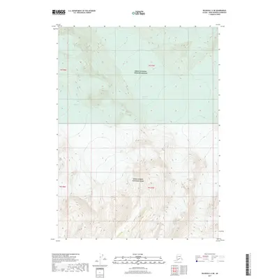
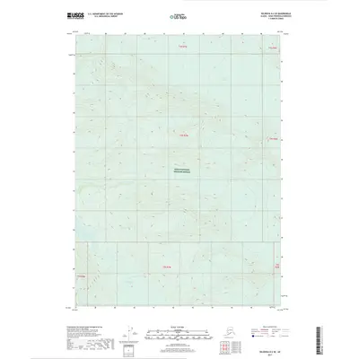
2017 Map of Seldovia C-2 NE
USGS Topo · Published 2017About this map
Kenai Fjords National Park and the Kenai National Wildlife Refuge converge in this high-altitude wilderness on the Kenai Peninsula. The landscape is defined by massive ice fields and active glacial movement, with the Kachemak Glacier dominating the western terrain while the Dinglestadt Glacier and Split Glacier carve through the central and northern sections. This 2017 survey shows a land shaped almost entirely by ice and topography, devoid of roads or permanent settlements. The interface between these two major federal protected areas highlights a critical zone of conservation where the mountainous interior of the peninsula meets the glacial systems that feed into the surrounding coastal fjords.
Find a feature on this map
12 named features on this map. Tap any name to fly to it.
Don’t see what you’re looking for? This feature index may not catch every label — zoom into the map to look around manually.
Map Details
Editions of this 2017 Seldovia C-2 NE Map
This is the sole edition of this map. No revisions or reprints were ever made.
Other maps of this area

1950 · Seldovia D-2
USGS Topo · 1:63,360

1951 · Seldovia
USGS Topo · 1:250,000

1951 · Seldovia D-1
USGS Topo · 1:63,360

1953 · Seldovia C-2
USGS Topo · 1:63,360

1953 · Seldovia D-2
USGS Topo · 1:63,360
1953 · Seldovia C-1
USGS Topo · 1:63,360
1953 · Seldovia D-1
USGS Topo · 1:63,360

1963 · Seldovia
USGS Topo · 1:250,000
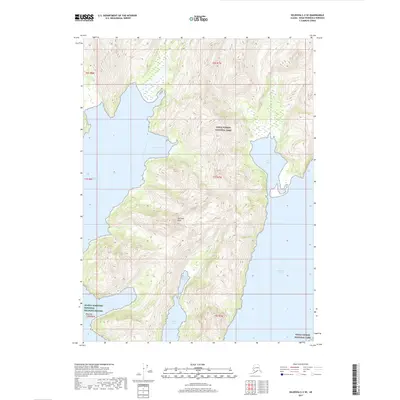
2017 · Seldovia C-2 SE
USGS Topo · 1:25,000
2017 · Seldovia D-2 SE
USGS Topo · 1:25,000