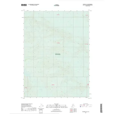
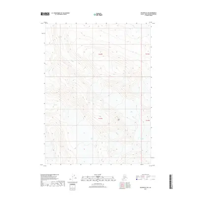
2017 Map of Seldovia D-2 SE
USGS Topo · Published 2017About this map
Kenai National Wildlife Refuge dominates this section of the Kenai Peninsula, showcasing a landscape defined by dramatic glacial activity and alpine hydrology. The ice fields of Chernof Glacier and Dinglestadt Glacier serve as the primary geographical anchors, illustrating the ongoing process of glacial movement and melt that shapes the surrounding valleys. Below the ice, Glacier Lake collects the runoff in a high-elevation basin, typical of the transitional drainage patterns found in this wilderness. This 2017 survey by the U.S. Geological Survey provides a precise topographic record of these shifting ice masses and remote water bodies within the Kenai Peninsula Borough, capturing the exact extent of the ice and the complex contouring of the high peaks during the early 21st century.
Find a feature on this map
11 named features on this map. Tap any name to fly to it.
Don’t see what you’re looking for? This feature index may not catch every label — zoom into the map to look around manually.
Map Details
Editions of this 2017 Seldovia D-2 SE Map
This is the sole edition of this map. No revisions or reprints were ever made.
Other maps of this area

1950 · Seldovia D-2
USGS Topo · 1:63,360

1951 · Seldovia
USGS Topo · 1:250,000

1951 · Seldovia D-1
USGS Topo · 1:63,360

1953 · Seldovia C-2
USGS Topo · 1:63,360

1953 · Seldovia D-2
USGS Topo · 1:63,360
1953 · Seldovia C-1
USGS Topo · 1:63,360
1953 · Seldovia D-1
USGS Topo · 1:63,360

1963 · Seldovia
USGS Topo · 1:250,000
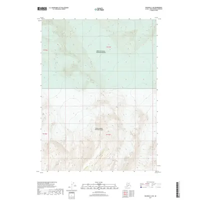
2017 · Seldovia C-2 NE
USGS Topo · 1:25,000
2017 · Seldovia D-2 NE
USGS Topo · 1:25,000