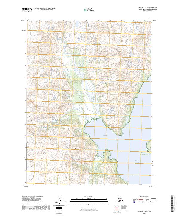
2024 Map of Seldovia C-2 SW
USGS Topo · Published 2024About this map
Kenai Fjords National Park and the Alaska Maritime National Wildlife Refuge converge at this remote coastal junction on the southern Kenai Peninsula. The landscape is dominated by the steep, glaciated relief of Storm Mtn and Mt Diablo, which tower over the deep waters of the West Arm Nuka Bay. The interaction between the marine and mountain environments is clear where the Nuka River and Ferrum Creek drain into the protected waters of Beauty Bay and Shelter Cove.
Find a feature on this map
17 named features on this map. Tap any name to fly to it.
Don’t see what you’re looking for? This feature index may not catch every label — zoom into the map to look around manually.
Map Details
Editions of this 2024 Seldovia C-2 SW Map
This is the sole edition of this map. No revisions or reprints were ever made.
Other maps of this area

1951 · Seldovia
USGS Topo · 1:250,000

1951 · Seldovia B-2
USGS Topo · 1:63,360

1951 · Seldovia B-3
USGS Topo · 1:63,360

1951 · Seldovia C-3
USGS Topo · 1:63,360

1952 · Seldovia B-3
USGS Topo · 1:63,360

1953 · Seldovia C-3
USGS Topo · 1:63,360

1953 · Seldovia B-2
USGS Topo · 1:63,360

1953 · Seldovia C-2
USGS Topo · 1:63,360

1963 · Seldovia
USGS Topo · 1:250,000
2017 · Seldovia B-3 NE
USGS Topo · 1:25,000