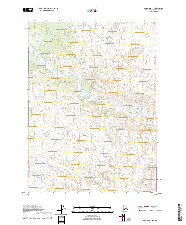
2024 Map of Seldovia D-2 NW
USGS Topo · Published 2024About this map
Kenai Wilderness (Andrew Simons Unit) dominates this high-latitude terrain, where the Fox River carves through the protected landscape. This section of the Kenai Peninsula is defined by its dramatic elevation changes and preserved natural state within the Kenai National Wildlife Refuge. The drainage patterns are clearly visible through features like the meandering Clearwater Slough and the isolated waters of High Lake. This modern survey records the untouched character of the unit named for Andrew Simons, emphasizing the conservation boundaries that have protected these watersheds and peaks into the twenty-first century.
Find a feature on this map
10 named features on this map. Tap any name to fly to it.
Don’t see what you’re looking for? This feature index may not catch every label — zoom into the map to look around manually.
Map Details
Editions of this 2024 Seldovia D-2 NW Map
This is the sole edition of this map. No revisions or reprints were ever made.
Other maps of this area

1944 · Kenai
USGS Topo · 1:250,000

1950 · Kenai
USGS Topo · 1:250,000

1950 · Seldovia D-2
USGS Topo · 1:63,360

1951 · Seldovia
USGS Topo · 1:250,000

1951 · Seldovia D-3
USGS Topo · 1:63,360

1951 · Kenai A-3
USGS Topo · 1:63,360

1951 · Kenai A-2
USGS Topo · 1:63,360

1952 · Kenai A-2
USGS Topo · 1:63,360

1952 · Kenai A-3
USGS Topo · 1:63,360

1953 · Seldovia D-2
USGS Topo · 1:63,360