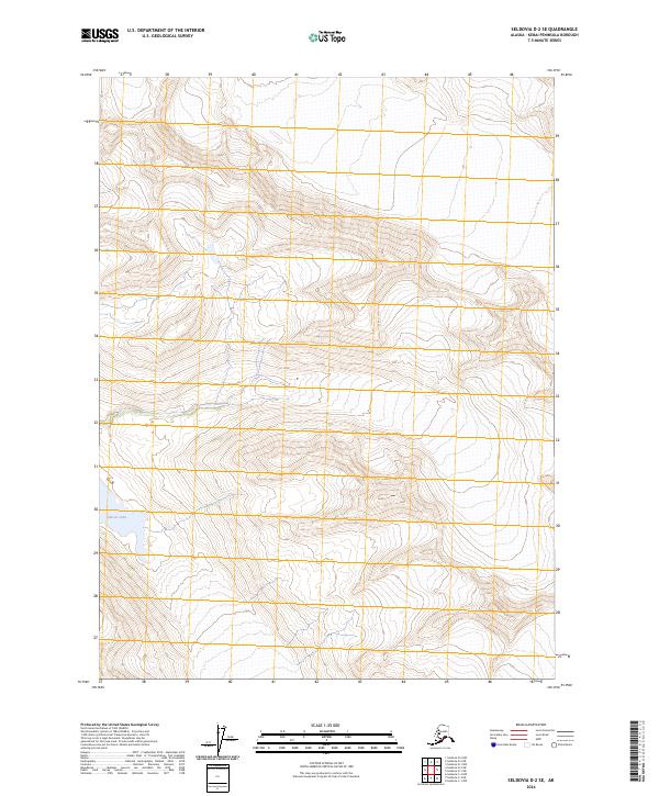
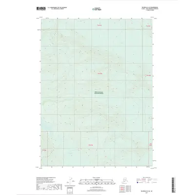
2024 Map of Seldovia D-2 SE
USGS Topo · Published 2024About this map
Kenai Wilderness (Andrew Simons Unit) dominates this survey of the southern Kenai Peninsula, where steep topographic contours delineate the high country of the Kenai Mountains. The landscape is largely protected within the Kenai National Wildlife Refuge, indicating a region defined by its natural state rather than human development. In the southwestern corner, Glacier Lake sits at the base of dramatic elevation shifts, suggesting a basin formed by glacial activity. This 2024 data represents a contemporary look at the wilderness boundaries and township lines of the t4s r7w and t5s r7w ranges, capturing the intersection of federal conservation lands and the underlying public land survey system.
Find a feature on this map
10 named features on this map. Tap any name to fly to it.
Don’t see what you’re looking for? This feature index may not catch every label — zoom into the map to look around manually.
Map Details
Editions of this 2024 Seldovia D-2 SE Map
This is the sole edition of this map. No revisions or reprints were ever made.
Other maps of this area

1950 · Seldovia D-2
USGS Topo · 1:63,360

1951 · Seldovia
USGS Topo · 1:250,000

1951 · Seldovia D-1
USGS Topo · 1:63,360

1953 · Seldovia C-2
USGS Topo · 1:63,360

1953 · Seldovia D-2
USGS Topo · 1:63,360
1953 · Seldovia C-1
USGS Topo · 1:63,360
1953 · Seldovia D-1
USGS Topo · 1:63,360

1963 · Seldovia
USGS Topo · 1:250,000
2017 · Seldovia C-2 NE
USGS Topo · 1:25,000
2017 · Seldovia D-2 SE
USGS Topo · 1:25,000