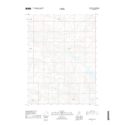
2017 Map of Seldovia D-2 SW
USGS Topo · Published 2017About this map
Sheep Creek flows through this high-elevation landscape in the Kenai Peninsula Borough, carving a course across the township boundaries of t4s r9w and t4s r8w. The terrain is characterized by dramatic elevation shifts and glacially-carved geography, most notably represented by Glacier Lake in the southeastern quadrant. This 2017 survey by the U.S. Geological Survey illustrates a largely undeveloped wilderness where the primary identifiers are the legal land partitions of the Public Land Survey System and the natural drainage patterns of the Kenai mountains. The map provides a precise record of the hydrological relationship between the mountain runoff and the persistent ice-influenced water bodies that define this part of Alaska.
Find a feature on this map
8 named features on this map. Tap any name to fly to it.
Don’t see what you’re looking for? This feature index may not catch every label — zoom into the map to look around manually.
Map Details
Editions of this 2017 Seldovia D-2 SW Map
This is the sole edition of this map. No revisions or reprints were ever made.
Other maps of this area

1950 · Seldovia D-2
USGS Topo · 1:63,360

1951 · Seldovia
USGS Topo · 1:250,000

1951 · Seldovia D-3
USGS Topo · 1:63,360

1951 · Seldovia C-3
USGS Topo · 1:63,360

1953 · Seldovia C-3
USGS Topo · 1:63,360

1953 · Seldovia C-2
USGS Topo · 1:63,360

1953 · Seldovia D-2
USGS Topo · 1:63,360
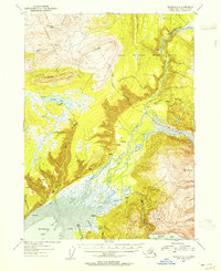
1953 · Seldovia D-3
USGS Topo · 1:63,360

1963 · Seldovia
USGS Topo · 1:250,000
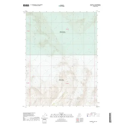
2017 · Seldovia C-2 NE
USGS Topo · 1:25,000